Follow SlamScanner on LinkedIn
Description
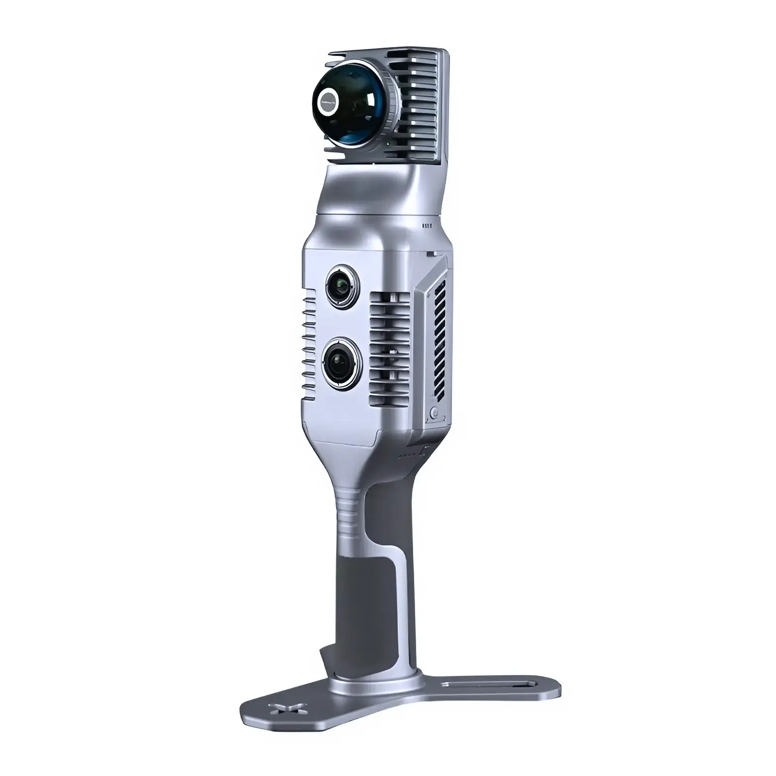
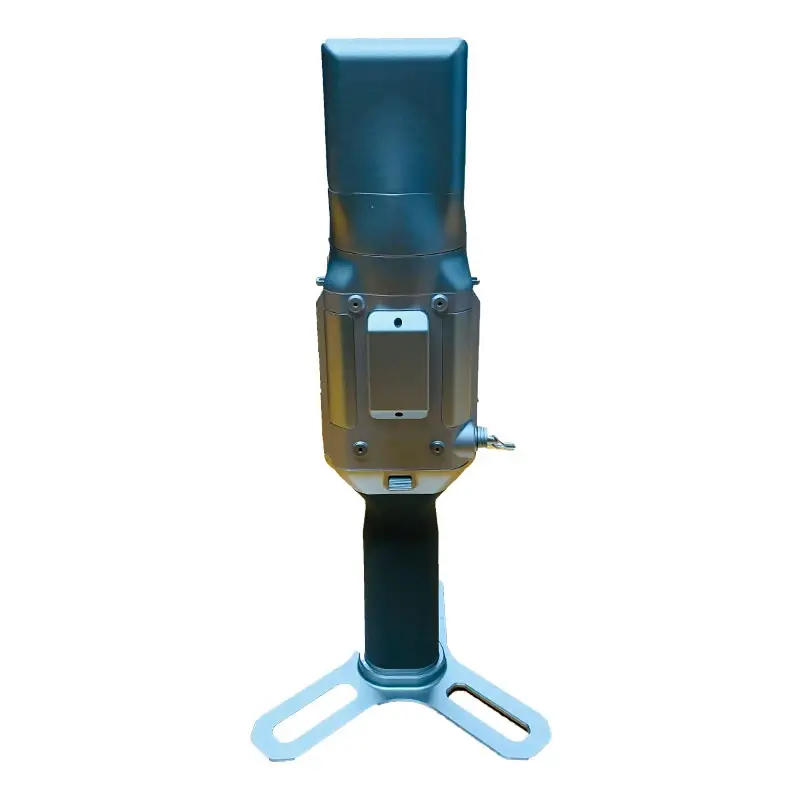
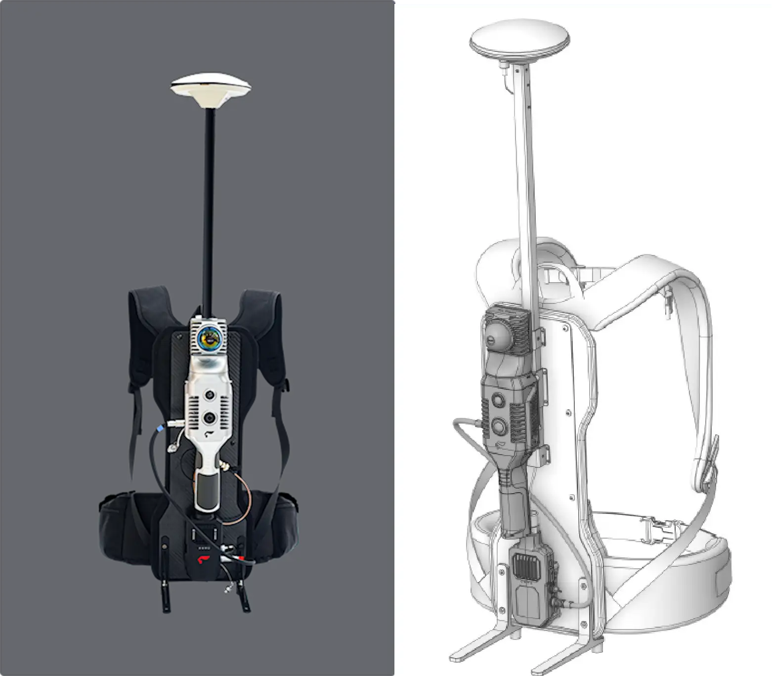
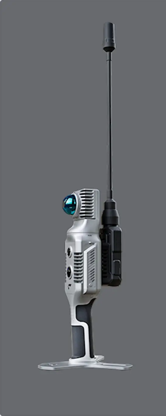
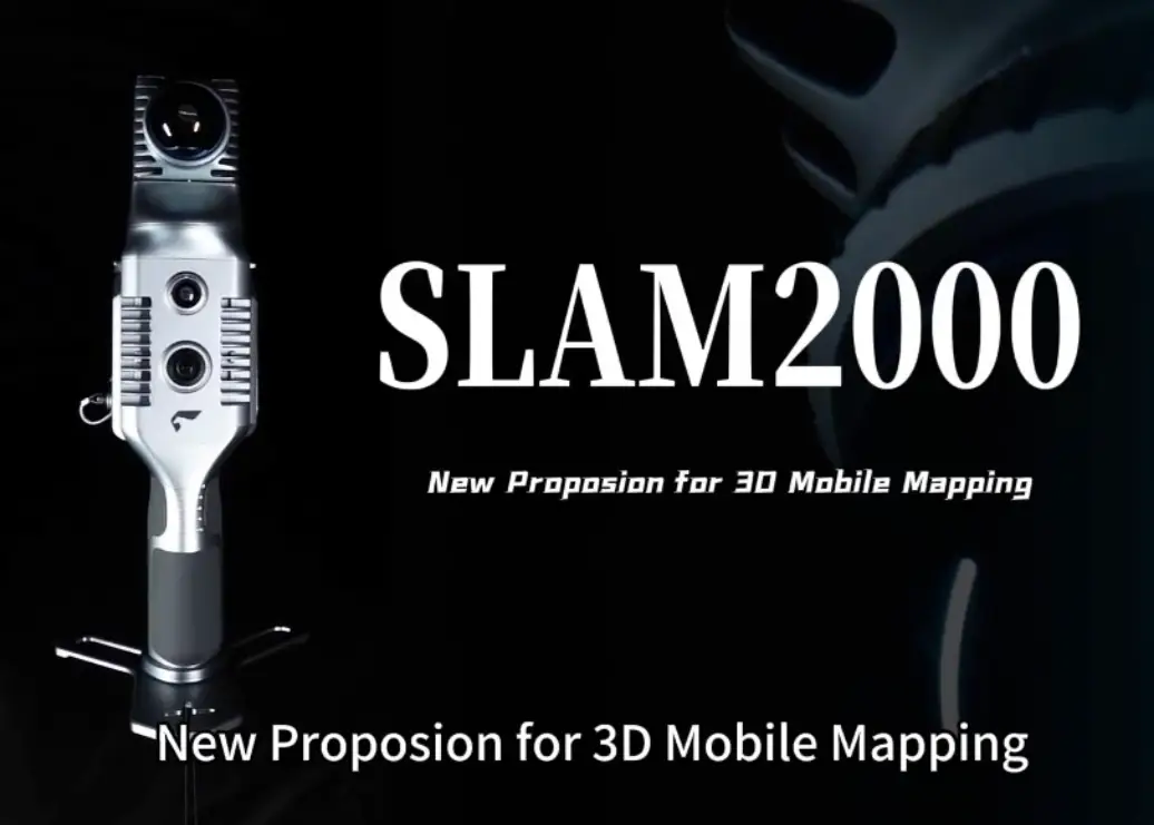
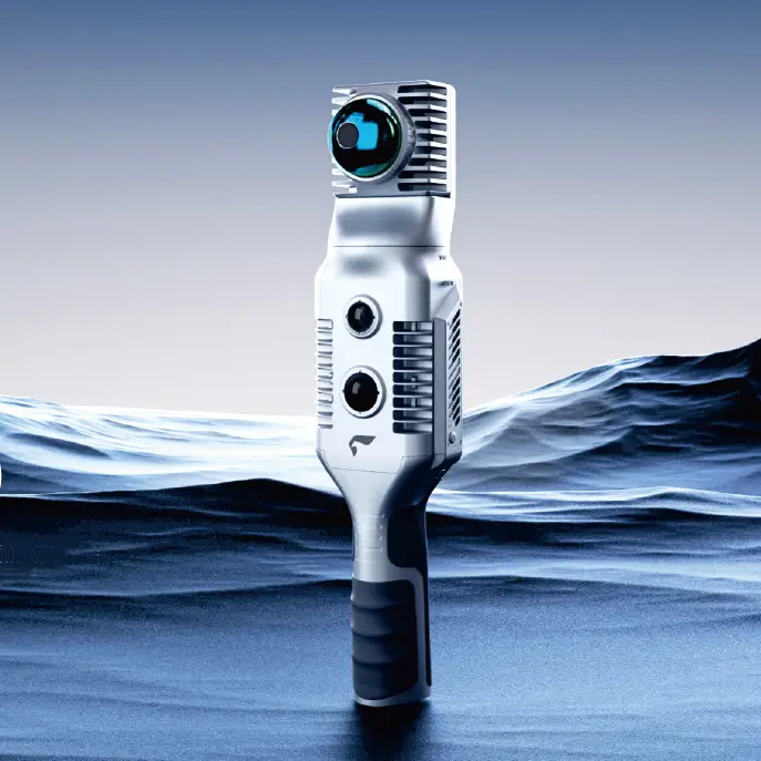
SLAM2000 Scanner
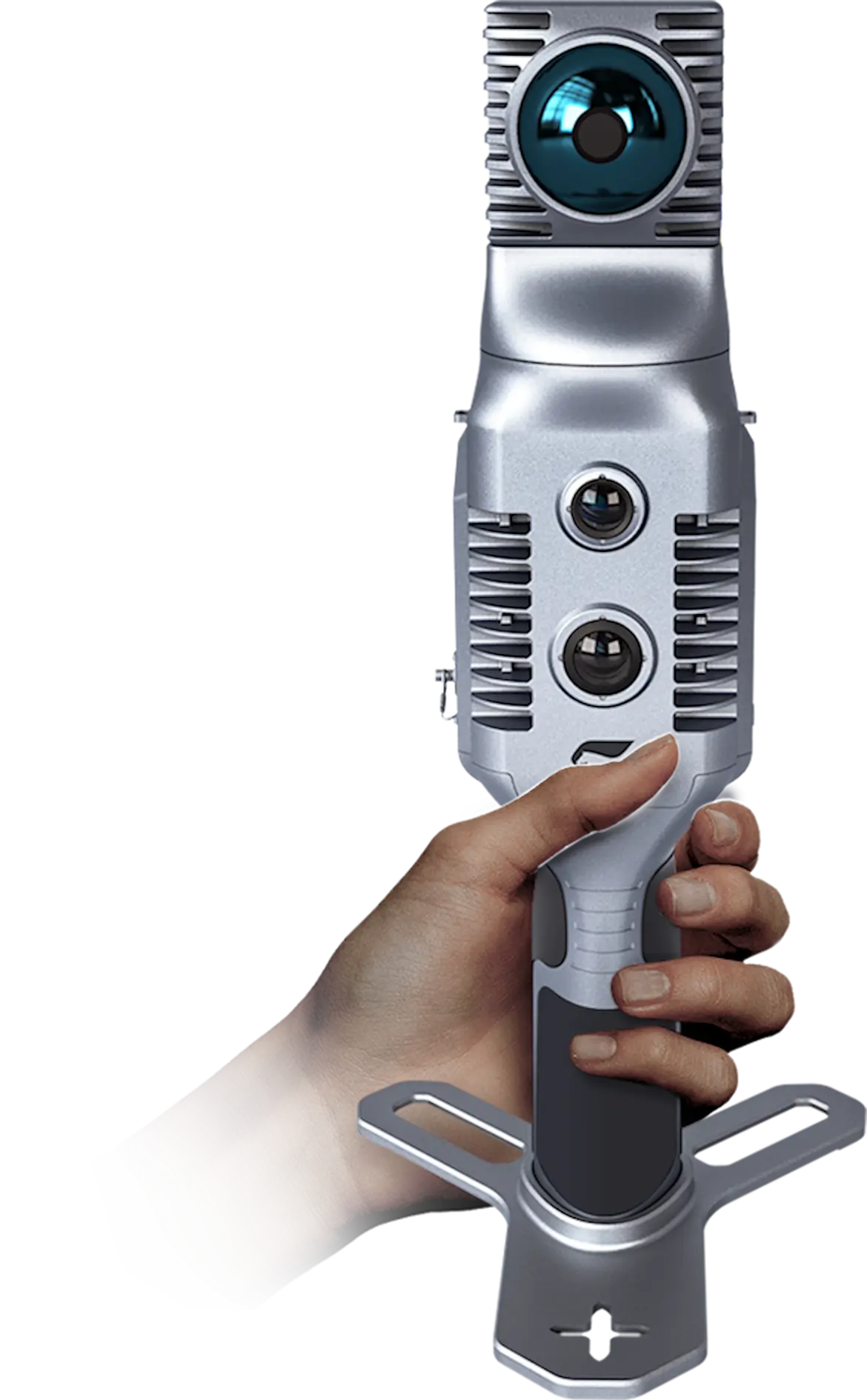
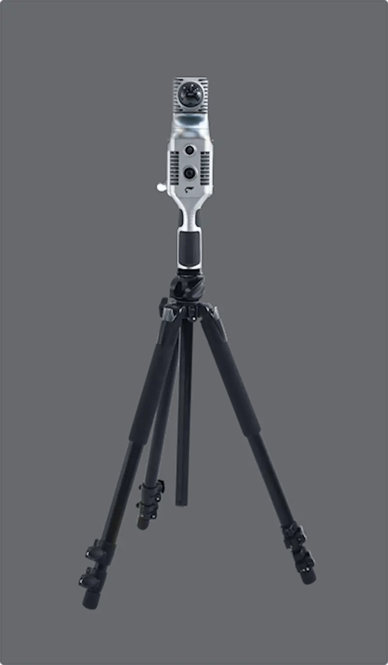
The SLAM2000 is a professional-grade mobile mapping system that bridges the gap between fast, flexible SLAM workflows and traditional terrestrial scanning approaches. Featuring a rotating LiDAR head for full panoramic coverage, the system supports both dynamic handheld capture and precise tripod-based operation—giving users the freedom to match the workflow to the job while also supporting optional GNSS integration for geospatially referenced projects.
System Overview
- Real-time SLAM-based positioning for rapid data capture without ground control, with optional GNSS support for geospatial workflows
- Rotating LiDAR sensor delivering full panoramic field of view
- Optimized for indoor, outdoor, and complex transition environments
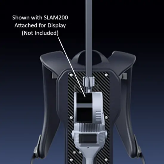
- Flexible deployment across handheld, tripod, backpack, and other mobile configurations
Why SLAM2000
- Hybrid workflow flexibility — operate handheld for speed or on a tripod for controlled, station-based capture
- Continuous SLAM advantage — move beyond the stop-and-scan limitations of traditional terrestrial workflows
- Built for real-world projects — well suited for larger sites, infrastructure, enclosed spaces, and geospatial jobs
- Expansion-ready platform — supports optional RTK/GNSS accessories and other field deployment configurations
Capture & Imaging
- Panoramic 360° laser scanning coverage for complete scene capture
- Integrated visual camera for contextual mapping and image-supported workflows
- Dedicated texture camera for enhanced point cloud colorization and scene detail
- Optional 360 panoramic camera bracket supports image capture for emerging 3D Gaussian Splatting (3DGS) workflows
Included Software & Workflow
- Includes SLAM GO (mobile) and SLAM GO POST (desktop) software for complete capture-to-processing workflow
- Real-time mapping and trajectory visualization during data capture
- Post-processing for point cloud generation, refinement, and colorization
- Supports (optional accessory for) coordinate alignment using GNSS/RTK-assisted workflows
- Point cloud viewing, editing, measurement, and data export
- Standard export deliverable formats LAS, e57 and ply (3DGS) with optional 360 camera adaptor