
Description
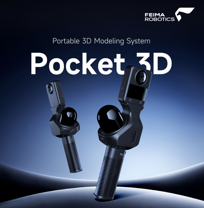
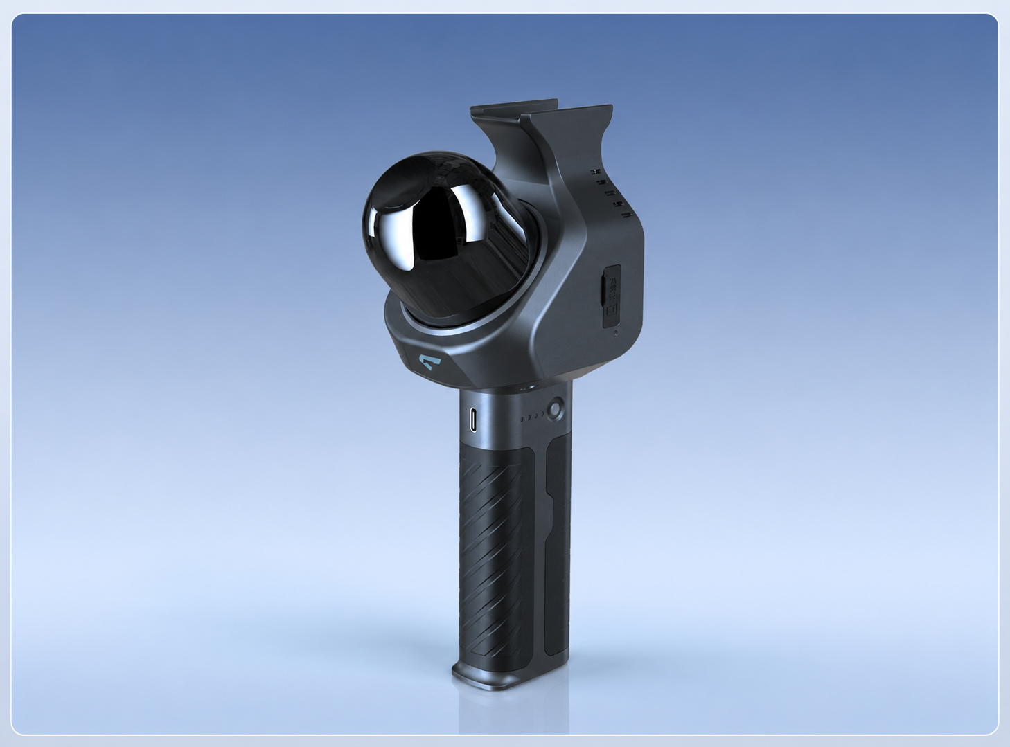
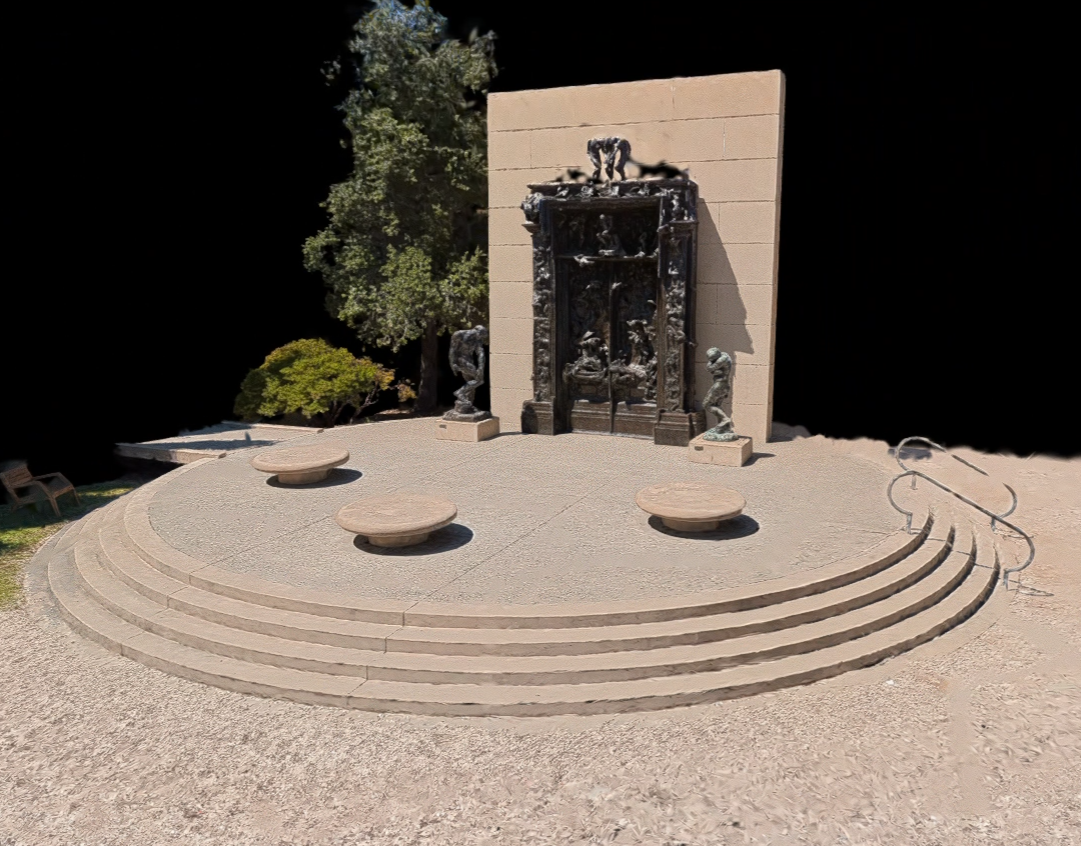
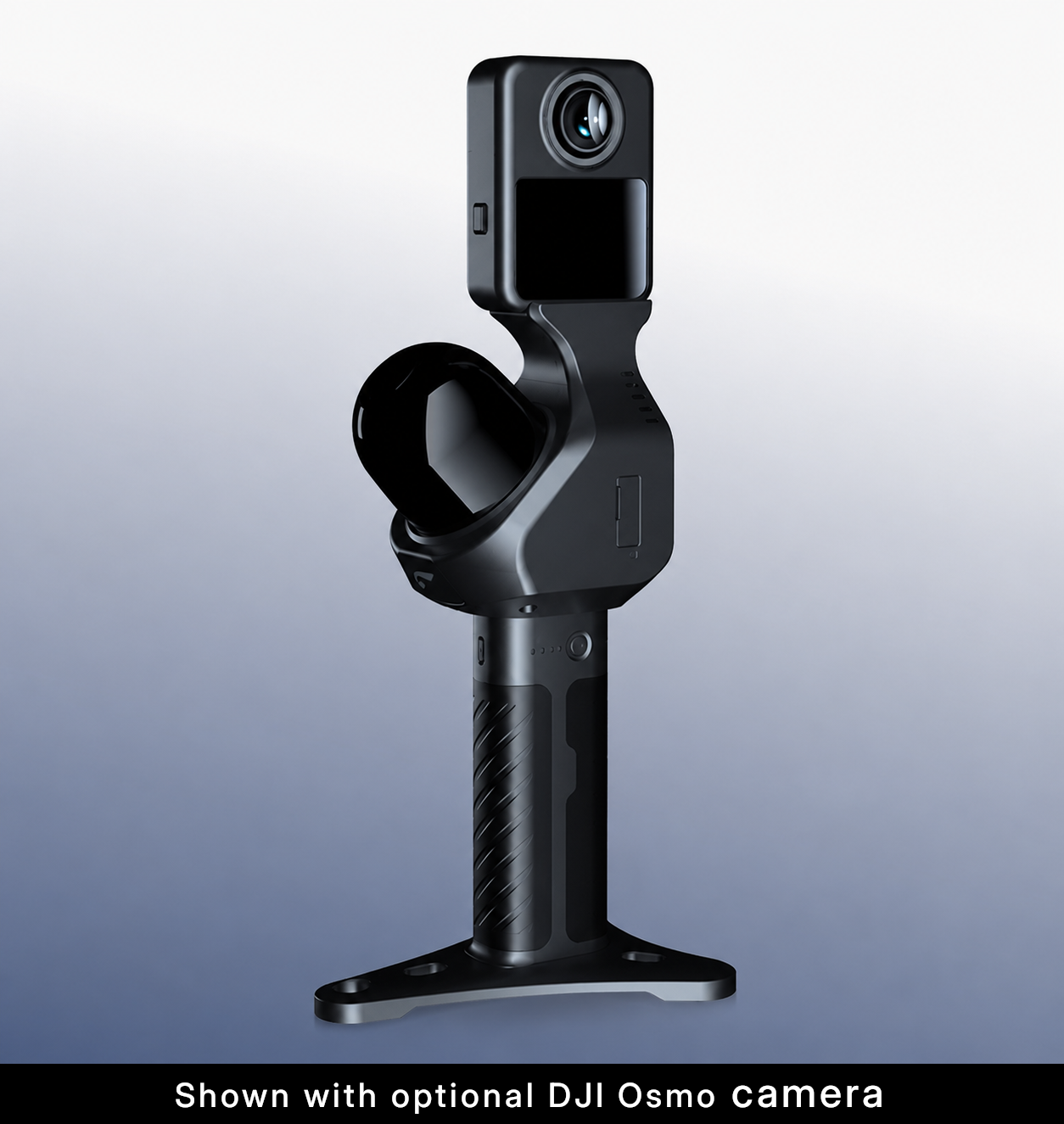
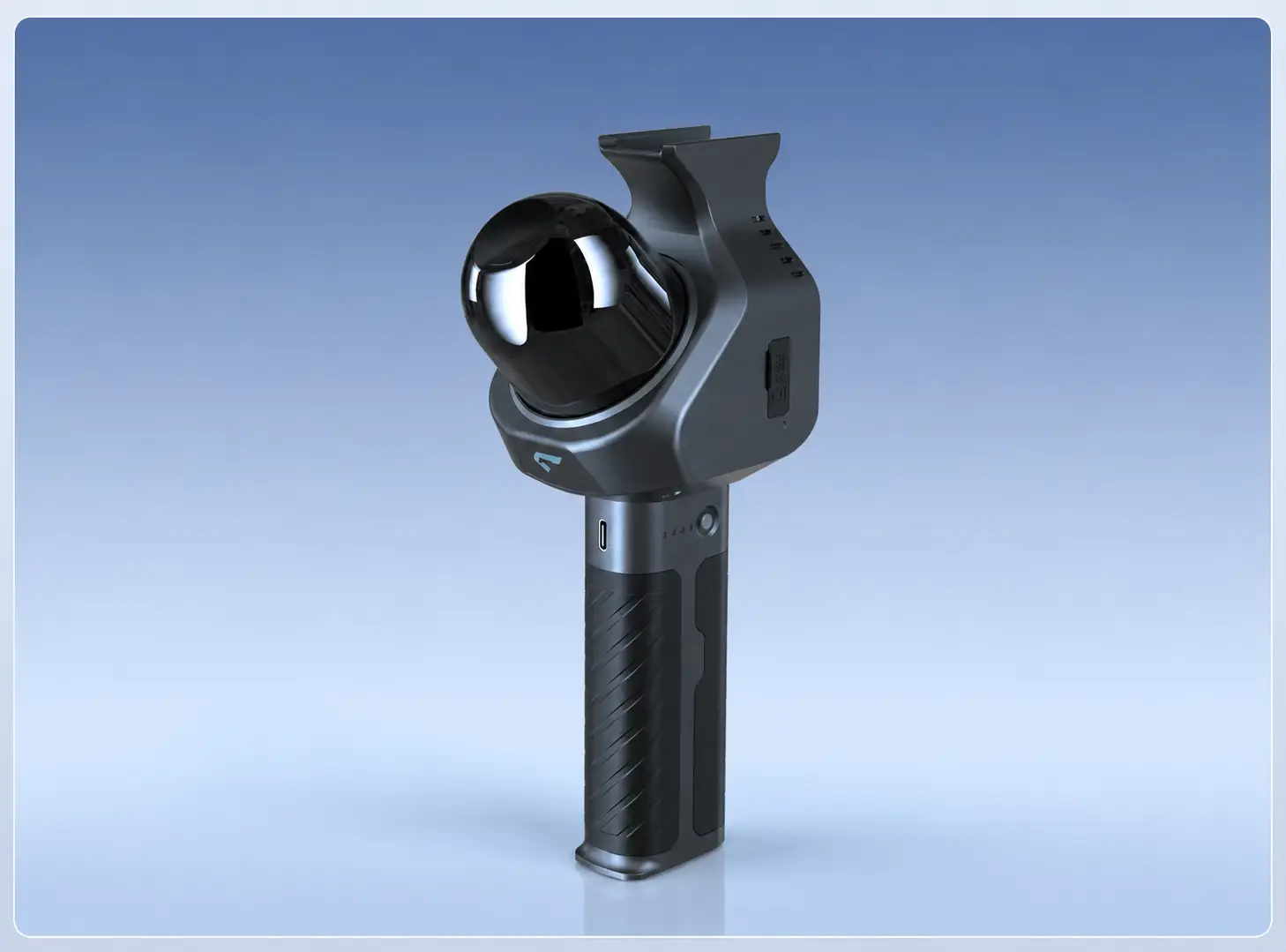
Pocket 3D is a compact, professionally engineered LiDAR scanner designed specifically for high-quality 3D Gaussian Splatting (3DGS) capture. By combining modern LiDAR positioning with imagery from a compatible 360° camera, it produces photorealistic 3DGS deliverables while simultaneously generating professional-quality LiDAR point clouds from a single field workflow.
Pocket 3D is purpose-built for organizations that need an efficient, lightweight, and affordable reality capture solution without compromising professional workflows. It shares the same proven SLAM GO mobile application and SLAM GO POST desktop software used throughout the Feima SLAM product family, providing a consistent workflow from field collection through final deliverables.
Professional LiDAR Platform
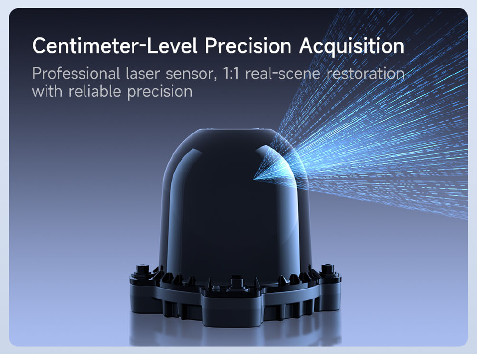
Pocket 3D is more than a camera accessory. It is a dedicated LiDAR instrument engineered to capture accurate spatial geometry while synchronizing imagery from a compatible 360° camera for photorealistic reconstruction. The result is a complete reality capture dataset suitable for visualization, measurement, documentation, and downstream design workflows.
- Professional LiDAR positioning combined with panoramic imagery
- Optimized specifically for high-quality 3DGS reconstruction
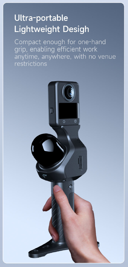
- Compact handheld design for efficient indoor and outdoor capture
- Produces both photorealistic 3DGS deliverables and LiDAR point clouds
Survey Control Workflows
Although Pocket 3D does not include integrated GNSS hardware, it fully supports professional survey control workflows. Ground control points (GCPs) can be captured with the scanner while scanning. By importing those same points as surveyed control during data processing, the project can be rigidly rotated onto control or reconstructed using the imported surveyed coordinates. The resulting point cloud and 3DGS deliverables integrate naturally into established survey and engineering workflows.
LiDAR + 360° Capture
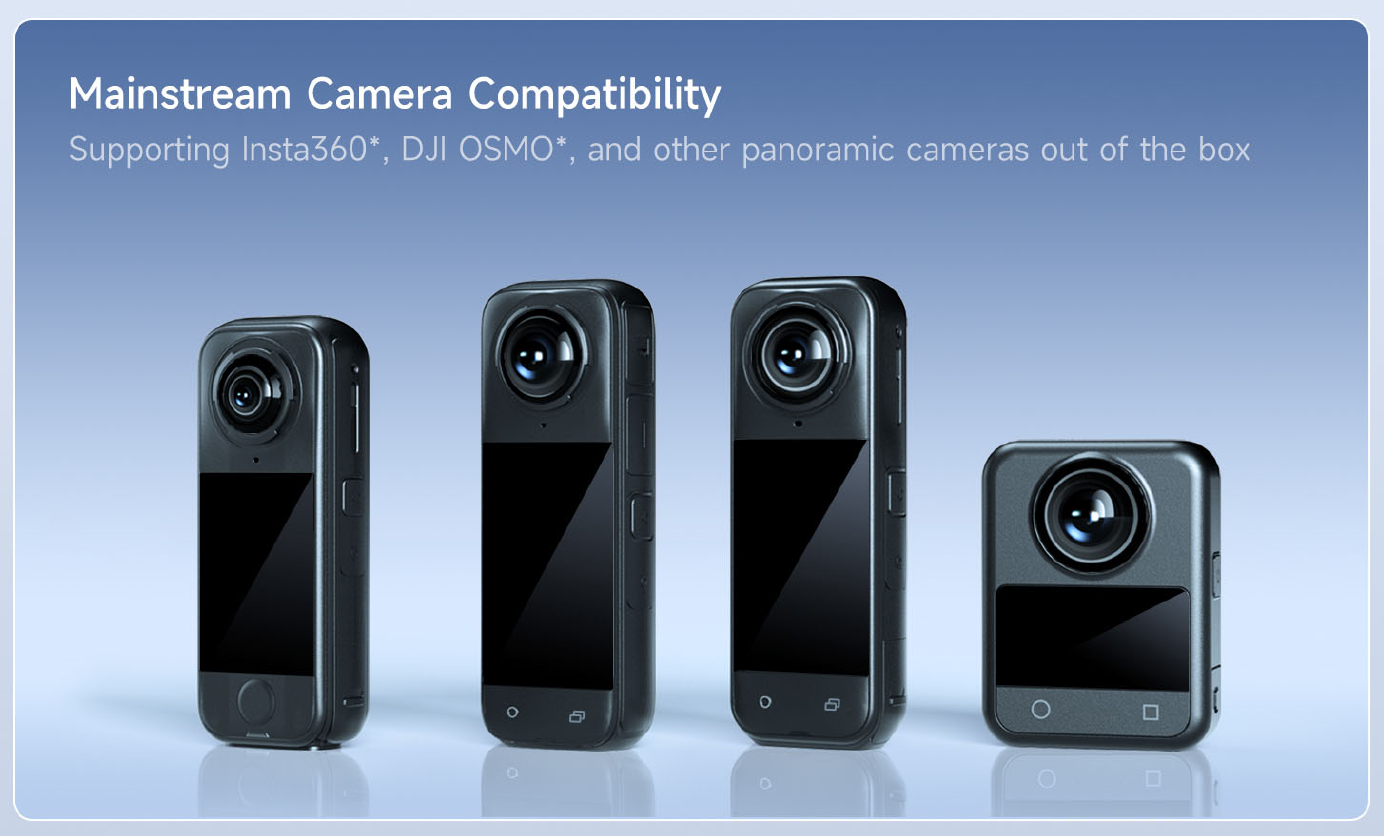
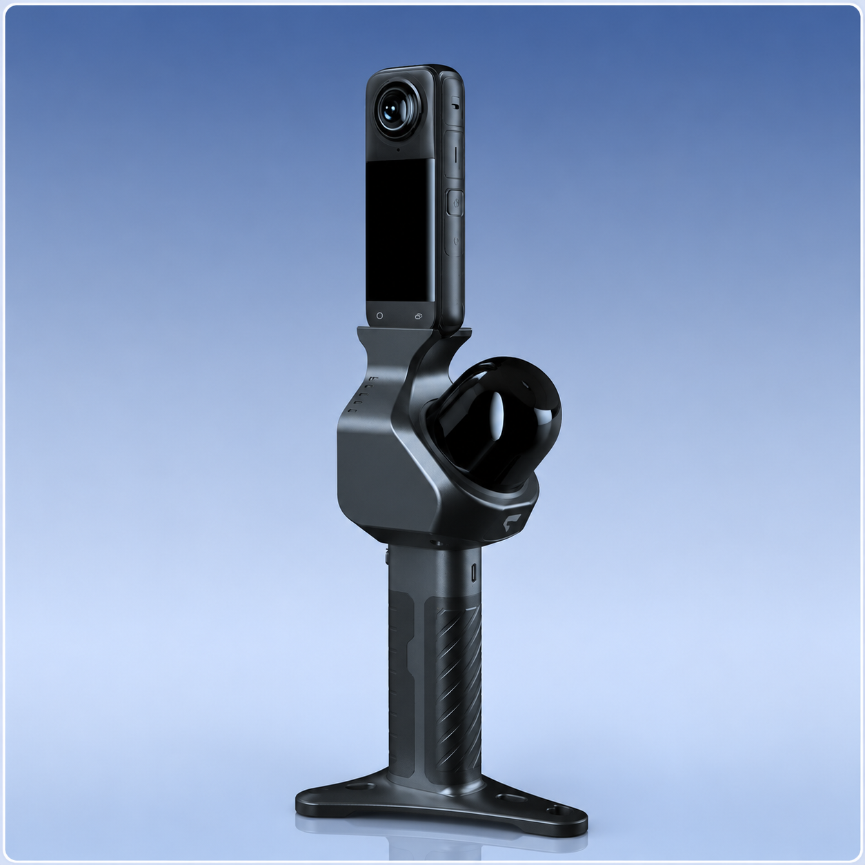
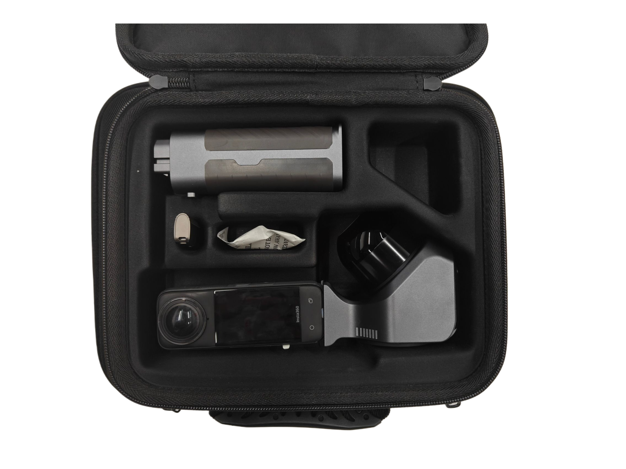
Pocket 3D captures spatial geometry with LiDAR while a compatible external 360° camera records the imagery required for photorealistic reconstruction. Customers may purchase a complete bundle or pair the scanner with a compatible camera they already own.
- Compatible with DJI Osmo 360 and Insta360 X4 Air, X4, and X5 cameras
- Supports a single, synchronized capture workflow
- Ideal for interiors, facilities, structures, industrial sites, and visually rich environments
A compatible 360° camera is required for 3DGS capture. The camera is physically mounted to the Pocket 3D as part of the initial system setup and is intended to remain mounted during normal use rather than being attached and removed for each project.
After mounting, the camera and scanner are calibrated using a prescribed field process followed by a prescribed SLAM GO POST desktop workflow. This generates a camera calibration file that is transferred back to the Pocket 3D base device and stored for subsequent projects. Calibration is normally a one-time setup process as long as the camera remains securely mounted and its position relative to the scanner does not change. Removing, replacing or disturbing the camera mounting requires recalibration.
Designed for Successful 3DGS Capture
Producing exceptional 3DGS results requires more than collecting geometry. Operators must manage lighting, exposure, camera orientation, walking speed, image overlap, and viewing angles throughout the project. Pocket 3D’s lightweight form factor makes it easy to capture the consistent imagery required for high-quality reconstruction while simultaneously collecting professional LiDAR data.
- Capture from multiple viewpoints for improved reconstruction
- Maintain consistent image overlap and viewing geometry
- Operate and manage projects with SLAM GO
- Generate both point cloud and 3DGS deliverables in SLAM GO POST
Pocket 3D is professional reality-capture equipment rather than a plug-and-play consumer imaging device. Successful operation requires a capable processing computer with an appropriate NVIDIA GPU and the ability to learn and follow the prescribed setup, calibration, field-capture and project-processing workflows. Specialized knowledge of the underlying SLAM or Gaussian Splatting mathematics is not required.
Review Pocket 3D Technical Requirements →
Professional Deliverables
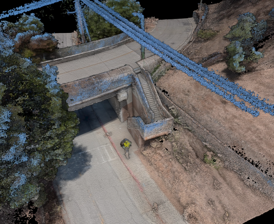
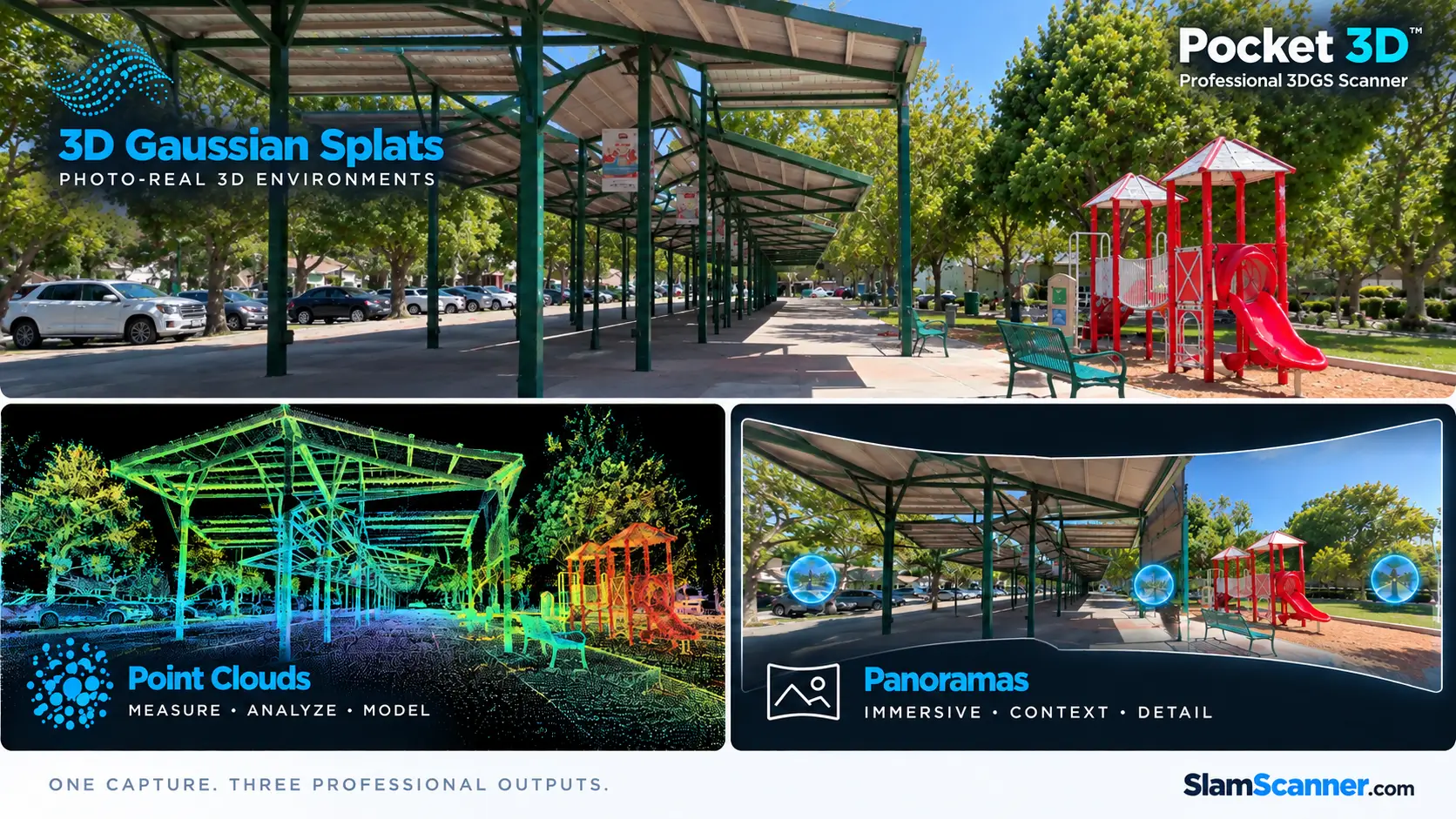
Pocket 3D delivers all the data needed to produce professional reality capture deliverables. You can generate your CAD documentation, visualization assets, engineering data, and support downstream design workflows. Colorized LiDAR point clouds, panoramic images (panos), and native 3DGS splat (.PLY) deliverables can be exported for use in industry-standard software supporting CAD, BIM, meshing, visualization, modeling, and other downstream applications.
- High-quality colorized LiDAR point clouds
- Photorealistic 3DGS splat (.PLY) deliverables
- High-resolution panoramic images (panos)
- Measurement and project documentation
- Export to third-party CAD, BIM, meshing, visualization, and modeling applications
Pocket 3D does not directly create BIM or mesh models. It generates point cloud and 3DGS data that can be imported into compatible third-party software.
Included Software
- SLAM GO mobile application for scanner operation and field capture
- Lifetime license of SLAM GO POST desktop processing software
- Project visualization, measurement, processing, and export
- A consistent workflow shared across the Feima professional SLAM ecosystem