

Description
Emlid Reach RS3 Base Station Bundle
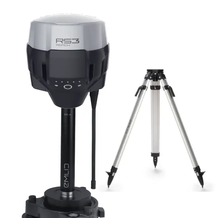
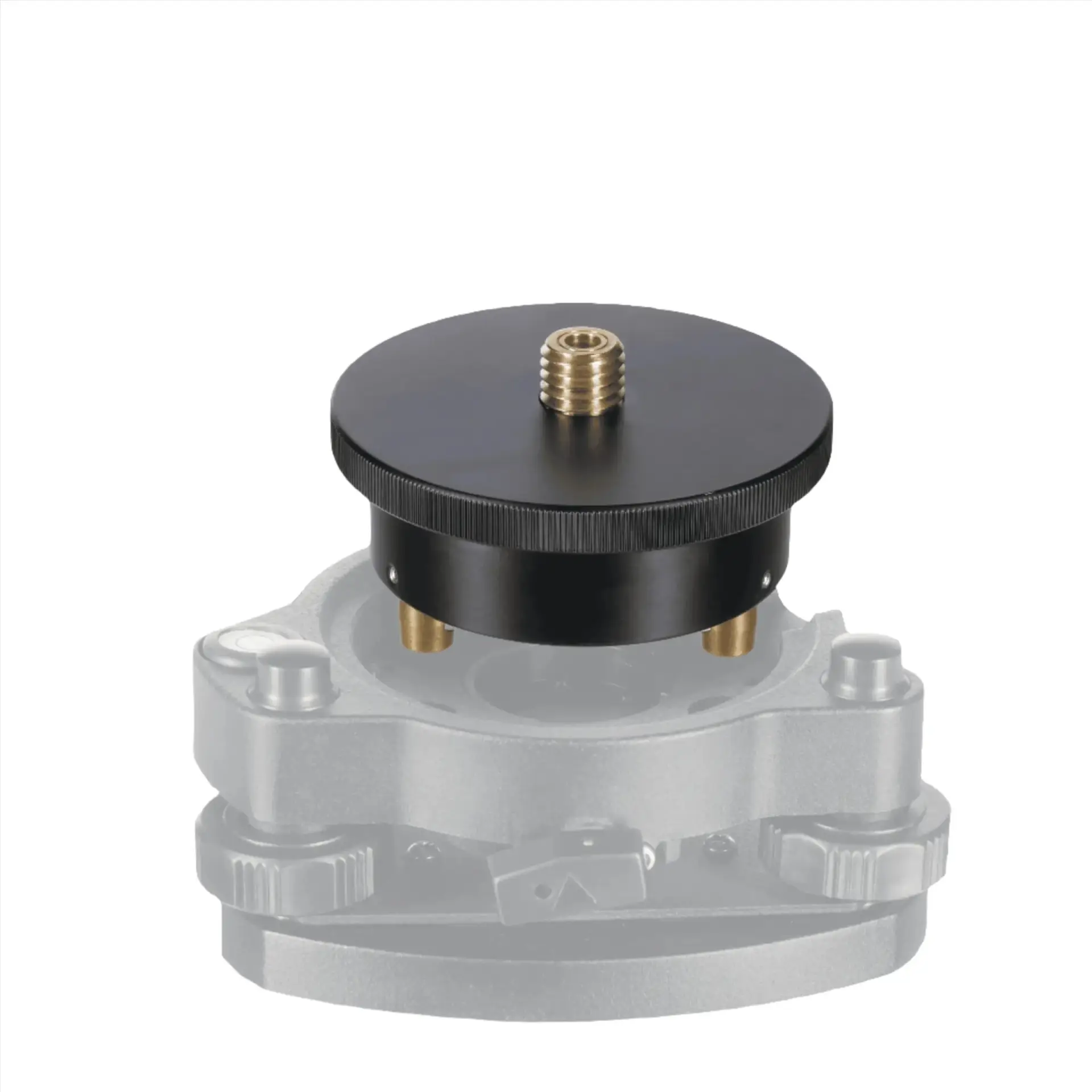
The Emlid Reach RS3 Base Station Bundle combines the core components needed for a stable, field-ready RTK GNSS base setup. The bundle includes the Reach RS3 receiver, a professional SECO aluminum tripod, a SECO tribrach with optical plummet, a rotating tribrach adapter, and an Emlid extension pole.
Emlid Reach RS3 GNSS Receiver
The Reach RS3 is a multi-band RTK GNSS receiver designed for fast, survey-grade positioning in real-world field conditions. When configured as a base station, it can provide correction data to compatible rovers, SLAM scanners, drones, and other GNSS-enabled field equipment. The RS3 supports radio, network, and local correction workflows and can also be reconfigured for rover operation when required.
SECO Aluminum Tripod
The SECO aluminum tripod provides a stable foundation for longer base occupations while remaining practical to transport and deploy in the field. Its telescoping legs, quick-clamp locks, and pointed feet support secure setup on varied terrain, helping keep the receiver steady throughout data collection and correction transmission.
Tribrach, Adapter, and Extension Pole
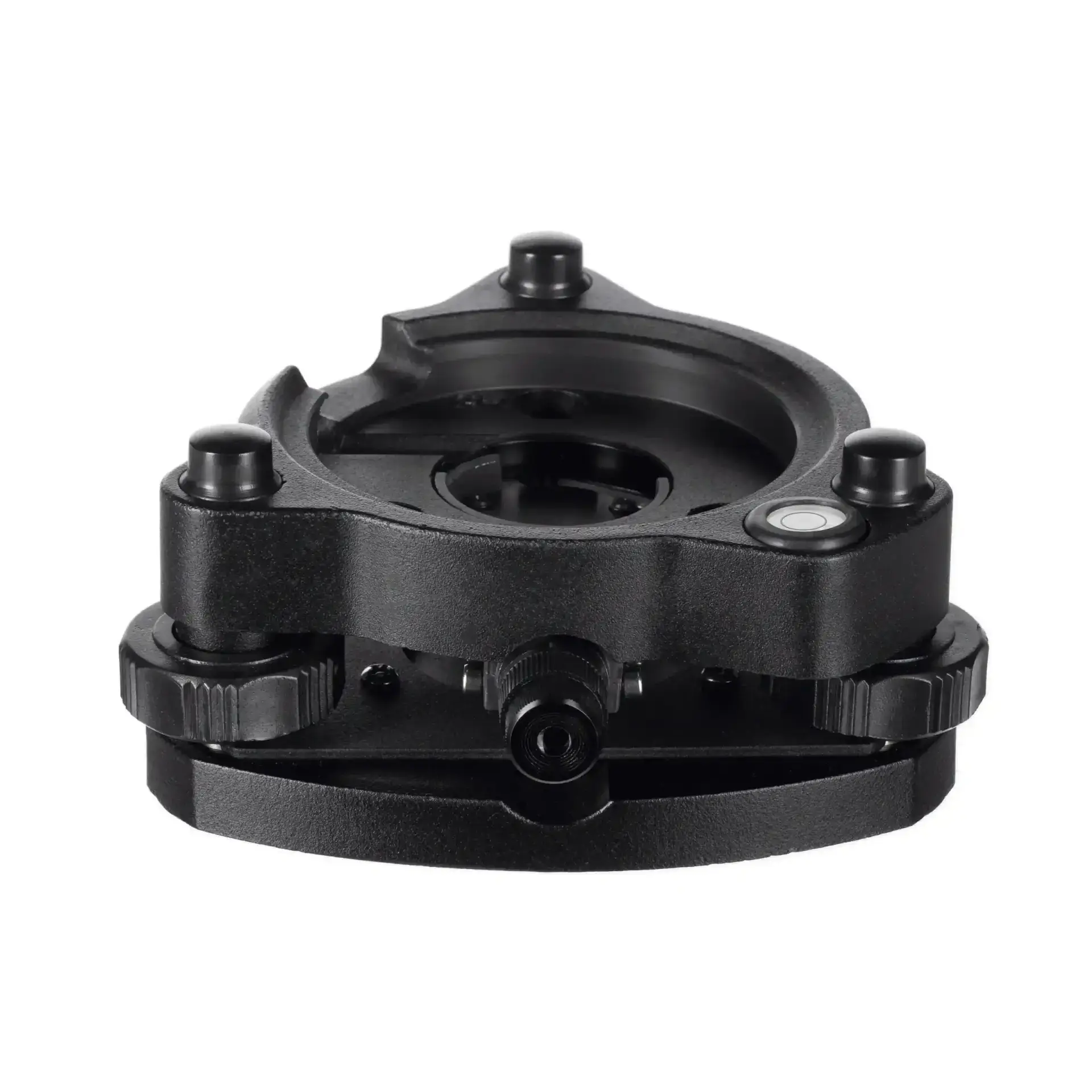
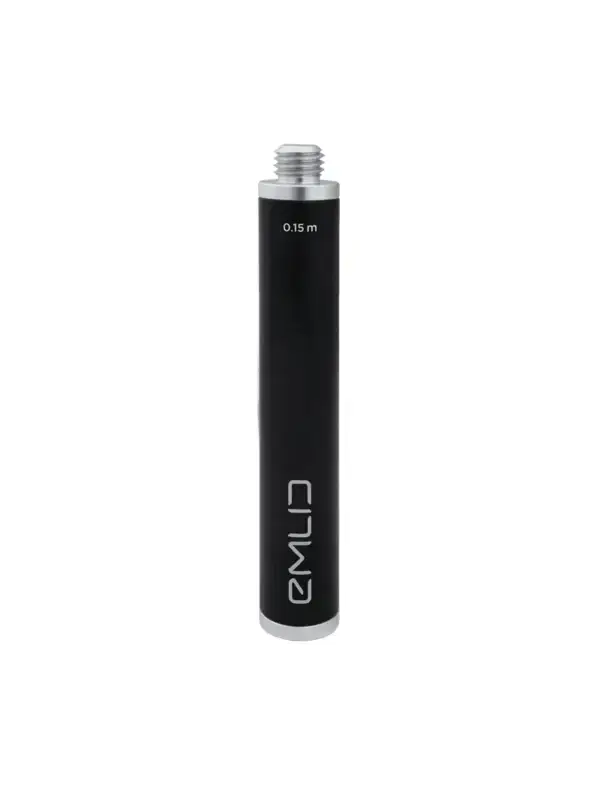
The SECO tribrach with optical plummet supports precise centering and leveling over a known point. The rotating tribrach adapter securely connects the Reach RS3 to the tribrach, while the Emlid extension pole provides the additional clearance needed for the receiver and radio antenna. Together, these components create a properly configured and repeatable mounting system for professional base-station use.
A Dedicated Base Station Workflow
This bundle provides a robust way to establish a local correction source for LiDAR scanning, photogrammetry, drone mapping, construction layout, and general surveying workflows. It is especially useful on projects where network corrections are unavailable, unreliable, or where a dedicated local base is preferred for consistency and control.
Pair the Base Station Bundle with the separate Emlid Reach RS3 Rover Bundle to create a complete base-and-rover system for establishing and checking survey control, collecting field shots, staking out locations, and measuring ground control points for reality-capture and other geospatial projects.